
This is a collection of resources I've designed for playing with maps and geography.
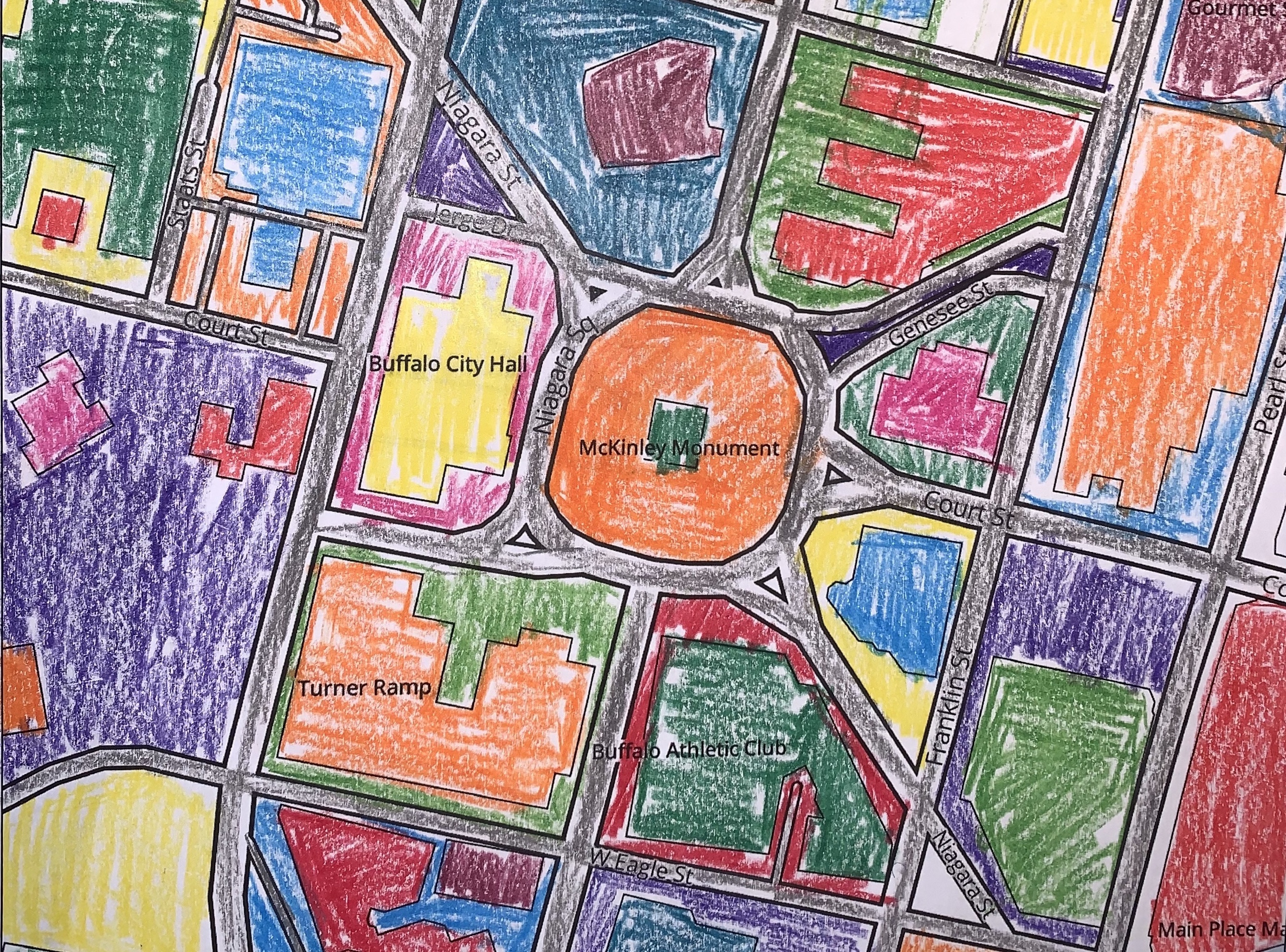
Color your community
This is an interactive and printable coloring book for anywhere in the world. I was inspired by the Mapbox coloring book. The buildings (from OpenStreetMap) were entirely missing from the city of Buffalo, NY. So, I added the Microsoft building footprints for to my modification of the monochrome style. I modified paper.css to create a printable page. Please post/share photos of your creations with me on Twitter@geographiliac.
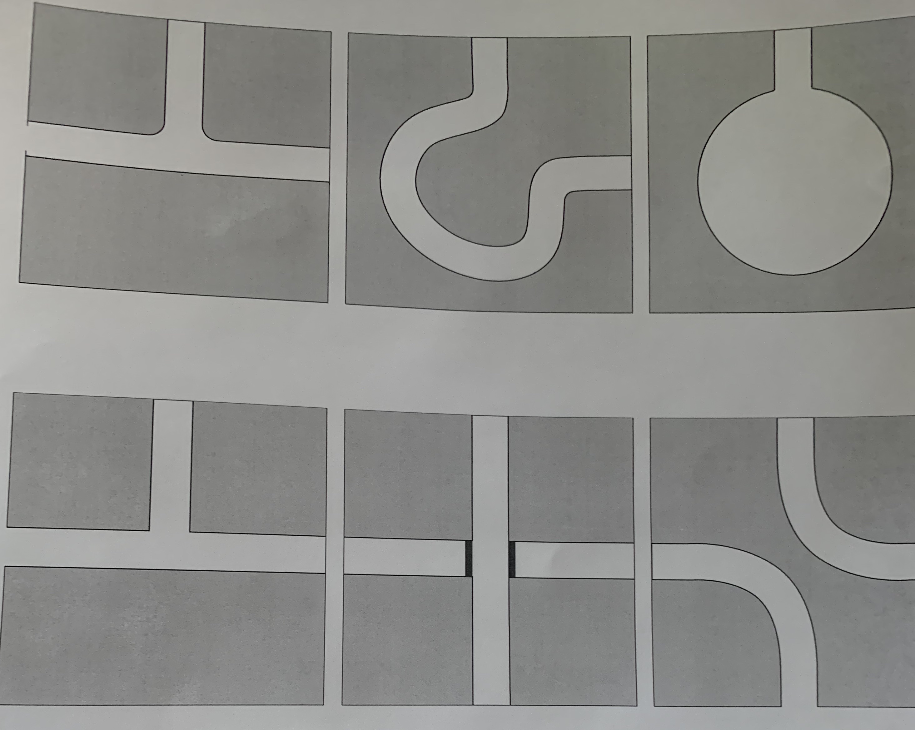
Road planning game
This pdf is intended be printed and cut into squares to lay out your imaginary city on the ground. The squares are big enough to drive a toy truck along.